
Javier Torre Aguado
Javier Torre Aguado
-
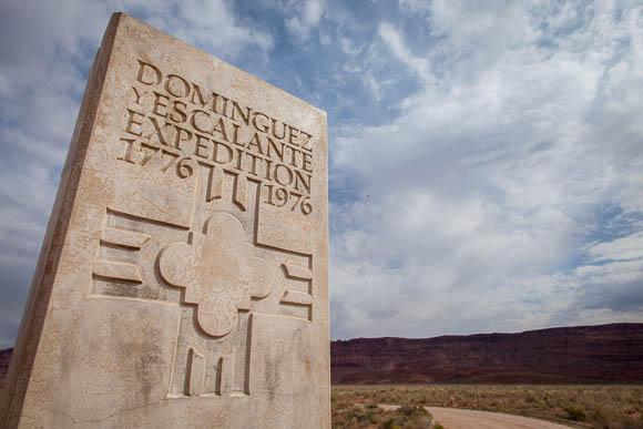
The Dominguez-Escalante expedition
-
-
The Dominguez-Escalante expedition (1776) is one of the last important expeditions that the Spanish Crown conducted in what is now the American Southwest, its aim was to establish a route between the two northernmost posts that the Spanish Empire had in the American Continent: Santa Fe (in present day New Mexico) and Monterrey (in present-day California). No European had ever travelled from one point to the other, although the members of the expedition knew they had to go over Hopi and Comanche territory. During the previous decades Spaniards had had violent encounters with both groups.
-
The route
-
-
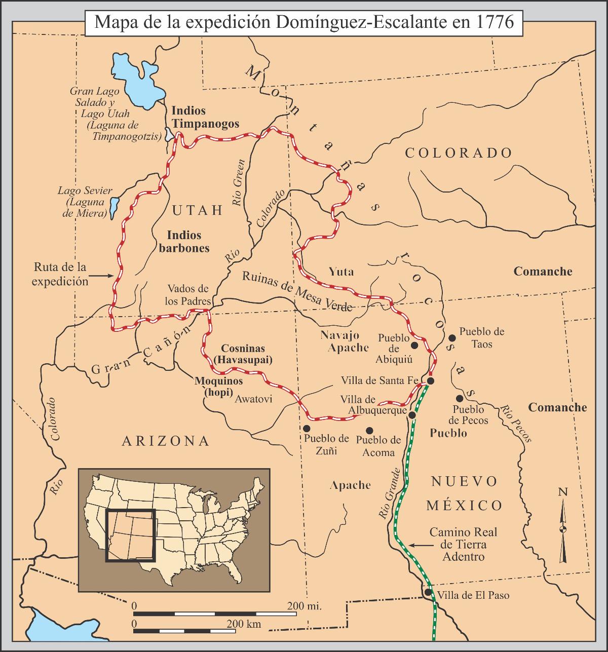
Although the plan was to travel directly west in order to establish a commercial route between the old Villa of Santa Fe and the new establishment of Monterrey, the expedition made a wide loop that covered a vast territory (Colorado, Utah, Arizona and New Mexico). The reason: the expeditionaries where worried about a mortal encounter with the Comanches, and continued to travel north (instead of going West). These detours took them several months, and by the time they were able to head west again, the winter had already arrived and they had to go back to Santa Fe because they would have died trying to cross the California Sierras.
-
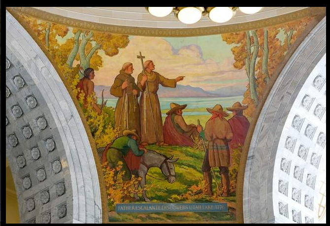
The members of the expedition
-
-
The expedition was made up of ten individuals that represented, in many ways, different social and ethnic groups that lived in the Spanish society of the Northern Frontier at the time. The leaders of the expedition were two missionaries named Father Domingo and Father Escalante (the first one was Mexican-born of Spanish ancestry, the second was a Spaniard born in Spain), there were three more Spanish and Mexican born colonist-soldiers. Five of the members of the expedition were Genizaro Indians from the Pueblo of Abiquiu (New Mexico), they served as translators and guides and played a crucial role in the expedition.
-
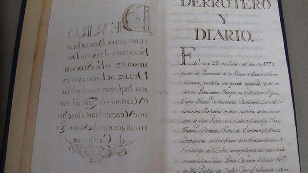
The Journal of the expediton
-
-
The Franciscan fathers wrote a very detailed journal narrating their six-month long sojourn in which they covered more than 2,000 miles. They had numerous encounters with different populations of Native Americans. They wrote some of the first proto-ethnographic descriptions of the Apache, Hopi, Havasupai, and Laguna people.
-
The map of the expedition
-
-
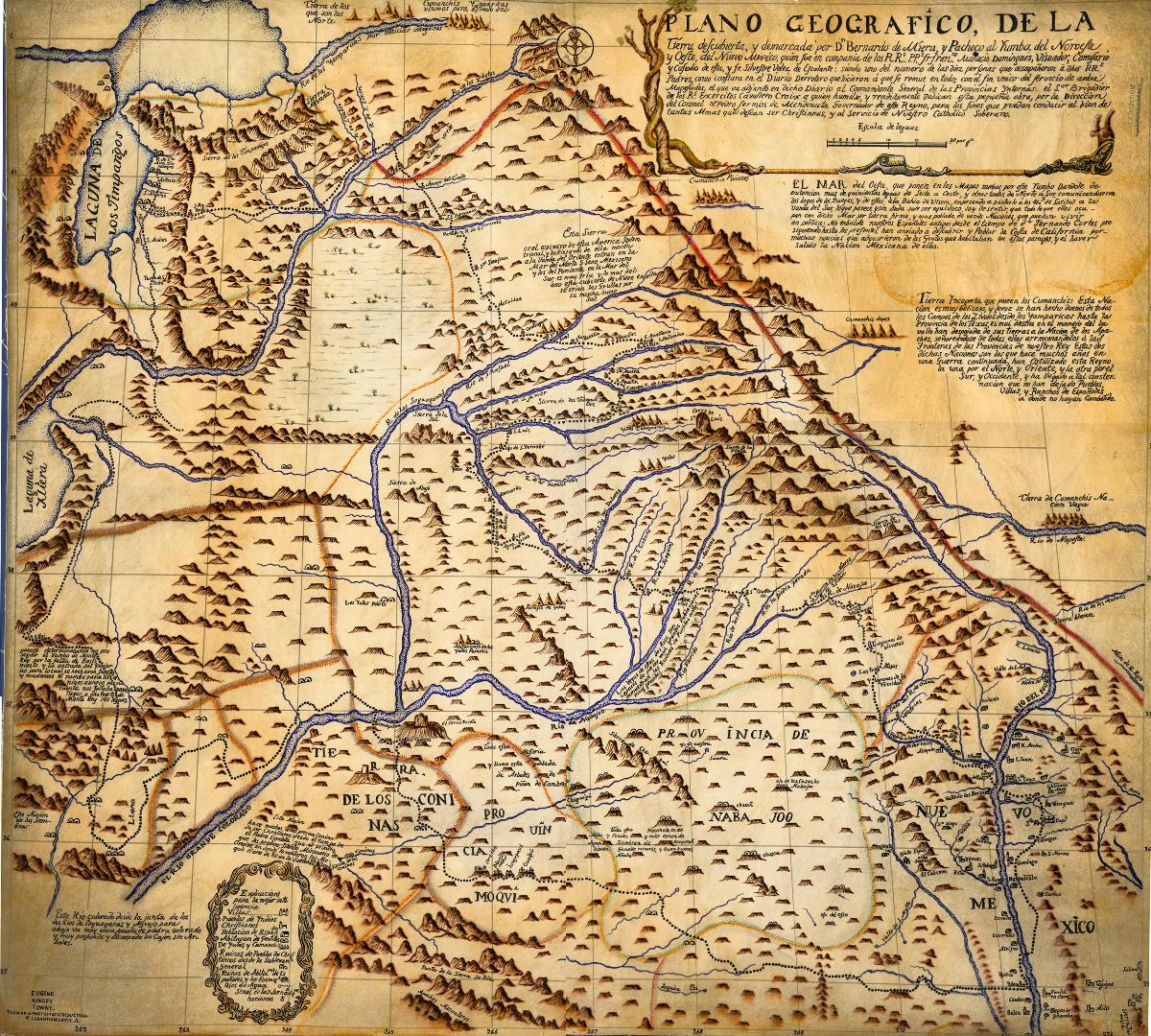
The cartographer of the expedition, Don Bernardo de Miera y Pacheco, drew a map of the territories explored. This map would be copied and reproduced during the next one hundred years by different generations of American cartographers as they became acquainted with the newly incorporated territory after the Louisiana Purchase.